Geological Heritage | UNESCO Global Geopark
The Langkawi Archipelago, situated off the northwestern coast of Peninsular Malaysia, is a geographical marvel comprising 99 islands (and up to 104 during low tide). More than just a tropical paradise, Langkawi represents some of the oldest geological history in Southeast Asia, with formations dating back over 550 million years.
A Convergence of Ancient Landscapes:
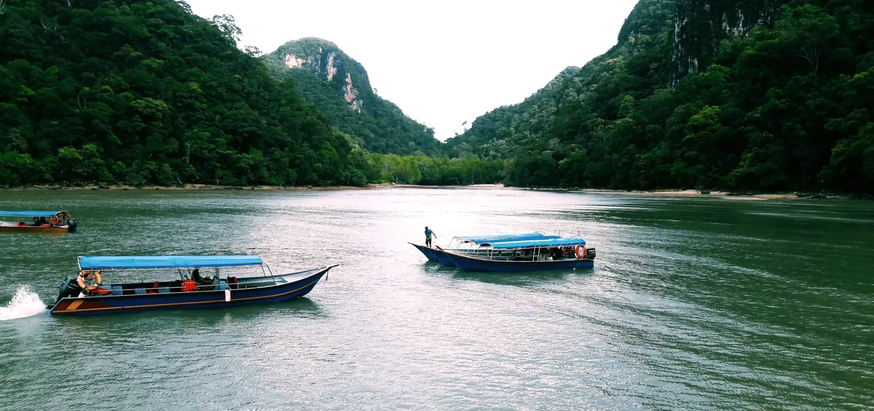
Langkawi’s geography is defined by its dramatic diversity. The island is home to the Machinchang Formation, the oldest sandstone mountain range in the region, characterized by rugged peaks and ancient fossil beds. In stark contrast, the eastern side of the island features the Kilim Karst Geoforest Park, where towering limestone cliffs rise vertically from the mangrove swamps—a landscape shaped by hundreds of millions of years of marine deposition and tectonic movement.
UNESCO Global Geopark Status:
In 2007, Langkawi was declared Southeast Asia’s first UNESCO Global Geopark. This prestigious recognition is not merely for its beauty, but for its outstanding "Geo-heritage." The archipelago provides a complete geological record of the Paleozoic era, offering a window into the Earth's past that is found nowhere else in the world. From the pristine rainforests of Gunung Raya to the intricate river systems of the mangroves, the geography of Langkawi is a living classroom of evolution and earth science.
At JungleWalla, our naturalists specialize in interpreting these ancient landscapes. We bridge the gap between complex geology and the fascinating wildlife that has adapted to thrive within these diverse geographical niches.
EXPLORE THE GEOPARK
UNESCO Geopark Mangrove Cruise:
Witness the ancient limestone karsts and intricate river systems featured in Langkawi’s geographical heritage. Our boat safaris provide expert geological and biological interpretation.
Join the Safari: Ethical Geopark Cruise
Machinchang Peak & Rainforest Trails:
Trek through the oldest rock formations in Southeast Asia with our professional naturalists.
Book Your Expedition: Langkawi Nature Tours
Media & Educational Inquiries:
WhatsApp: +60 19 225 2300
Email: junglewalla@gmail.com