Langkawi is not merely an archipelago; it is a geological masterpiece. In 2007, it was officially designated as the first UNESCO Global Geopark in Southeast Asia. This status recognizes Langkawi’s 550 million years of history, preserved in its ancient rock formations, diverse biodiversity, and rich cultural heritage. JungleWalla provides deep-access interpretative tours to the three main geoforest parks that define this world-class destination.
THE THREE PILLARS OF THE GEOPARK
- 1. Machinchang Cambrian Geoforest Park
Home to the oldest rock formations in Southeast Asia, dating back over 550 million years. This rugged landscape of sandstone and mudstone offers a window into the Earth's early history, supporting specialized flora and fauna adapted to its nutrient-poor soil. - 2. Kilim Karst Geoforest Park
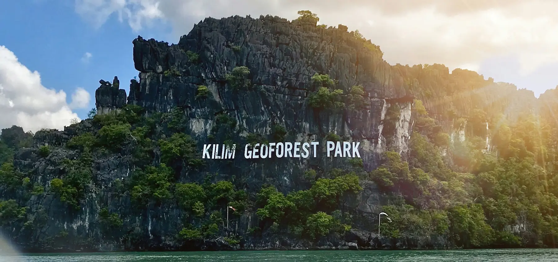
A breathtaking landscape of vertical limestone cliffs, ancient sea caves, and sprawling mangrove systems. This park is a critical habitat for specialized avian species, including the Brown-winged Kingfisher and White-bellied Sea Eagle, and showcases the intricate relationship between karst geology and biodiversity. - 3. Dayang Bunting Marble Geoforest Park
Famous for its legend-shrouded freshwater lake and unique marble formations. This park illustrates the geological processes of dissolution and uplift, creating a dramatic coastal scenery that is as scientifically significant as it is visually stunning.
WHY GEOPARK STATUS MATTERS
The UNESCO designation is more than an award; it is a commitment to conservation, education, and sustainable development. Langkawi’s Geopark status ensures that its "natural library" is protected from unsustainable growth. At JungleWalla, our naturalists act as the interpreters of this library, translating complex geological timelines into engaging narratives for our guests.
THE JUNGLEWALLA INTERPRETATION
We believe that you cannot protect what you do not understand. Our Geopark expeditions are designed to move beyond sightseeing. We explore the "why" behind the landscapes—why these mountains formed, how these mangroves sustain life, and how the ancient geology of Langkawi continues to shape its future.
EXPLORE THE GEOPARK WITH SPECIALISTS
Discover the secrets of the oldest land in Southeast Asia. From private boat safaris in Kilim to trekking the ridges of Machinchang, experience the UNESCO Global Geopark with Langkawi’s leading nature experts. Visit our Langkawi Nature Tours page for expedition details.